German Case study
Upper Main in North Bavaria
Explore how our team is strengthening stakeholder collaboration in the highly interconnected WEFE system of the Upper Main study area.
Case Study Overview
Discover Germany's Challenges
In Bavaria, a traditional top-down approach to water management is used, but Germany aims to increase digitization in its authorities. Online engagement tools and citizen science could modernize water governance. However, communication and knowledge remain fragmented among governing institutions and water users in the Upper Main region. Frequent hydrological extremes, such as floods and droughts, have heightened tensions among stakeholders, particularly affecting agricultural production due to water scarcity.
There is an urgent need to resolve these tensions while ensuring environmental sustainability. Expanding the analysis to include the entire Main catchment area could involve additional water authorities and federal states.
Our Methodology & Expected Results
Harmonizing Water Use and Environmental Balance
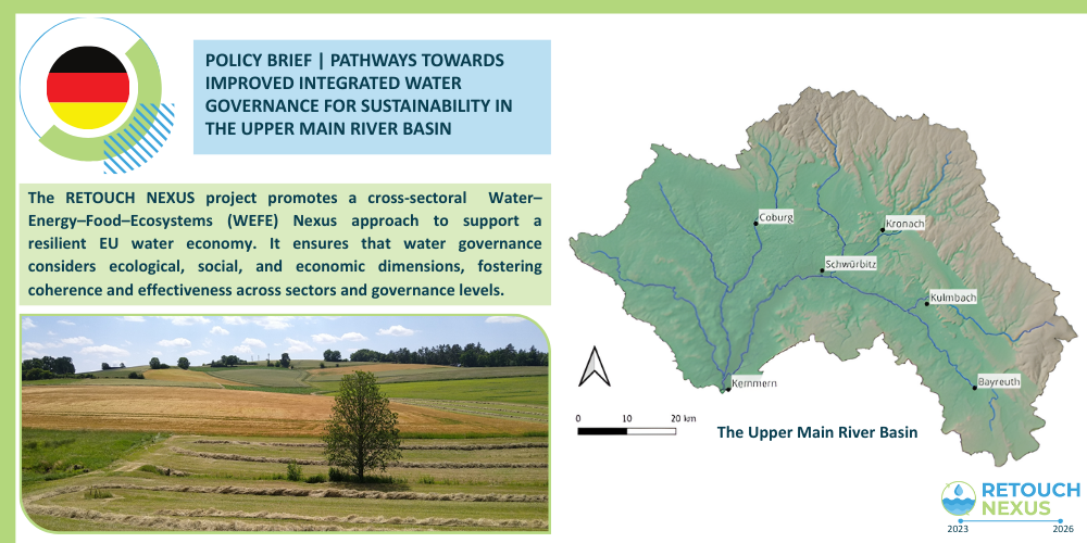
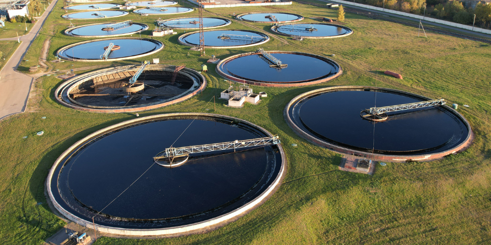
The upper main catchment is located in the northern part of Bavaria in Germany, compare figure 1. The catchment has an area of 4.646 km2 (Gauge Kemmern) (Schaffhauser, T., 2017) and is characterized by an east-west slope reaching the highest elevations with 1042.99 m.a.s.l in the Fichtel Mountains. However, 75% of the area is located in lower elevations (Barth, et al., 2004). Soils with low storage capacity predominate (Schaffhauser, T., 2017) and the most common soil type is brown earth (Barth, et al., 2004).
The largest part of the catchment area is used for agriculture and forestry with a proportion of 47.2 % and 43.2 % respectively, whereas 8.0 % of the area is sealed. The largest proportion of agricultural area (60.3 %) is not irrigated. The upper main has two springs (white and red main) and several tributaries (Schaffhauser, T., 2017). In addition to more than 350 mini-Hydropower Plants, one hydropower plant has a capacity > 1MW (LfU,2023).
Most of the public water supply is provided by groundwater (64.0 %), followed by spring water (16.1 %), surface water (18.6 %) and bank filtrate (1.4 %) (LfS, 2020). The main water users are households and small business (81.9 %). Whereas 18.1 % of the water is used by industry and others. (LfS, 2020).
Our methodology will involve identifying the success factors of water governance schemes and monitoring their impacts on socio-economic and environmental welfare. We will also evaluate the potential for scaling up successful water governance solutions, including governance practices, policy instruments, and pricing policies.
")
Our Local Engagement Activites
Engaging Stakeholders to Address Water-Related Issues
New Policy Brief: Water Pricing
Pricing Scarcity at the River Basin Scale Traditional water allocation rules fail to reflect the true marginal value of water…
New Policy Brief: Pathways Towards Improved Integrated Water Governance in the Upper Main River Basin
Integrated Water Governance in the Upper Main River Basin The Upper Main River Basin in northern Bavaria confronts mounting climate-related…

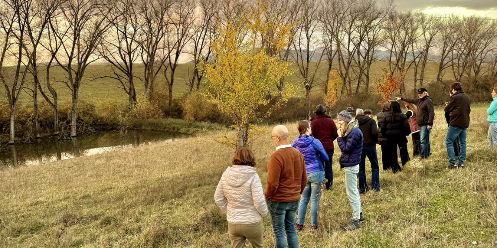
🌿 Nature-Based Solutions in Action: Local Engagement for Water Resilience in Kulmbach and Leuchau
On 18–19 June 2025, our German Case Study hosted two workshops in the Upper Main region (Germany) to promote, validate,…

Dialogforum Wasserkontroversen IV: Water Retention in the Landscape – Feasibility, Ecological Benefits, and Legal Implications
The "Wasserkontroversen" dialog forum, a key event in the ongoing discussion of water-related issues, took place on November 8, 2024,…
RETOUCH NEXUS at the Slovak Water Tour 2024: Advancing Nature-Based Solutions for Resilient Water Management
From October 28 to 31, 2024, the Slovak Water Tour brought together experts from across Europe to explore the regeneration…

RETOUCH NEXUS German Case Study at the SWAT Conference: Pioneering WEFE-Based Modeling for Resilient Water Governance in the Upper Main Catchment
From July 8th to 12th, 2024, the RETOUCH NEXUS project proudly participated in the SWAT Conference held at the National…
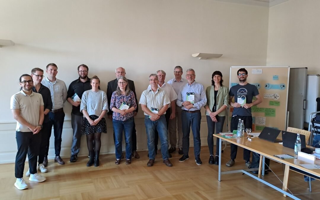
The German case study of the RETOUCH NEXUS project held its First stakeholder engagement in Upper Main!
On 25 June 2024, the German case study of the RETOUCH NEXUS project hosted its first stakeholder engagement workshop in…
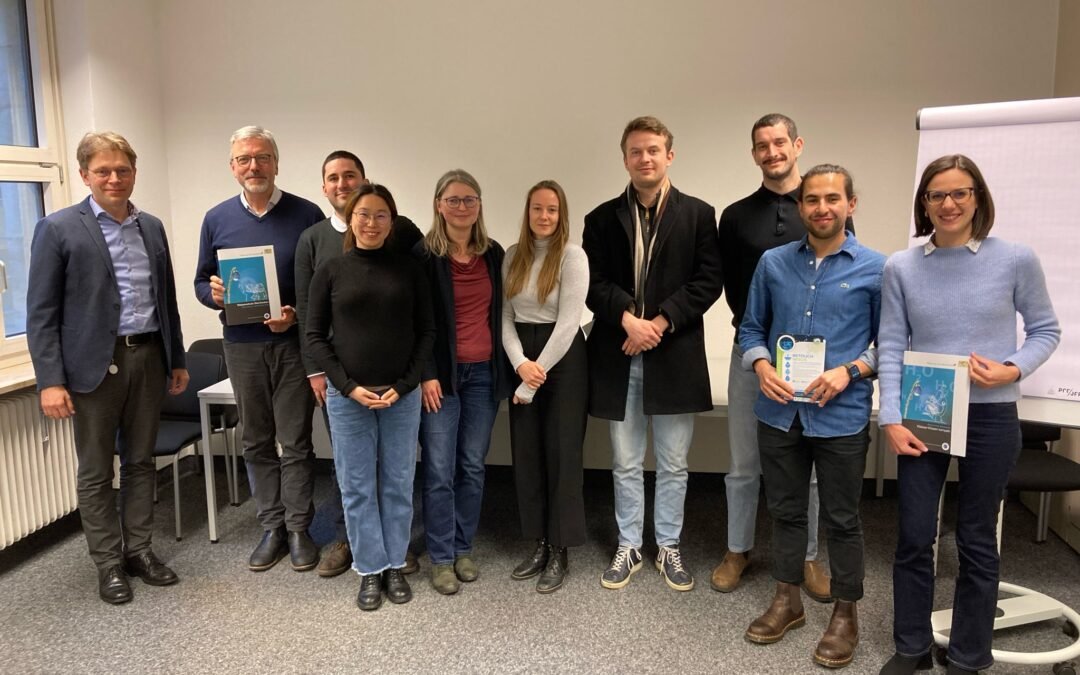
RETOUCH NEXUS project coordinator (TUM) visits German Case Study in Bayreuth
On 22 February 2024, a delegation from TUM visited representatives from the German Upper Main government. During the meeting, the…
Establishing a baseline to characterise each RETOUCH NEXUS case study
Last September, our project completed two tasks aimed at exploring water governance models, institutional frameworks and economic, financial and commercial…